Ponds
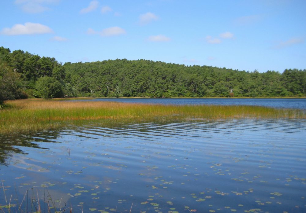
Kettle ponds are scattered across the outer Cape Cod landscape, an area consisting of glacial outwash plains that formed during the retreat of the Laurentide ice sheet some 18,000 years ago. Depressions in the outwash plain are called kettle holes. They mark the sites of ice blocks that were left behind by the retreating glacier and then buried by outwash sand and gravel deposits. Slow melting of the larger ice blocks left depressions that were deep enough to intersect with the water table. Rising sea levels pushed the outer Cape Cod freshwater lens upward, flooding the kettle holes to form lakes and ponds. These kettle hole lakes and ponds have little to no surface-water inflows or outflows, and receive all of their hydrologic inputs from groundwater and precipitation.
Truro is unique in that almost all of our ponds are owned by the National Park Service (NPS). This means that the NPS conducts any and all water quality testing at their water quality laboratory. For questions regarding their processes, please call the NPS Water Quality Lab at 508-487-3262 x0504.
The only pond in Truro that is not owned by the NPS is Pilgrim Pond, also known as Village Pond and Standish Pond - located on Pond Rd. The public landing at this pond is owned and maintained by the Town of Truro.
- A Map of Truro Ponds
- 2021 Cape Cod Pond & Lake Atlas by the Cape Cod Commission
- The Massachusetts Lake & Pond Guide: Understanding Watersheds; Lake & Pond Basics; Issues & Actions You Can Take to Help Protect Them
- Cyanobacteria Information
- APCC: Cyanobacteria Monitoring Map
- It is important to keep a vegetated buffer around our ponds. Surface runoff, which usually occurs as stormwater runoff, contributes over 80% of the sediment and nutrients to Massachusetts water bodies. Vegetated buffers can capture much of these before they wash or seep into our rivers, lakes and ponds. For more information on this topic, click here: The Massachusetts Buffer Manual
- Information on how you can help keep our ponds healthy: